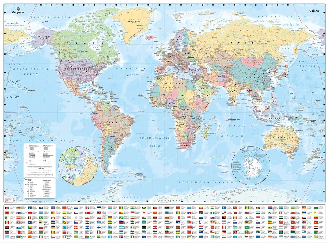
Description
🗺️ Own the world, one detail at a time!
- DURABLE WRITABLE - Crystal-clear laminated finish lets you annotate and wipe clean—ideal for classrooms and planners.
- TIME ZONES MADE SIMPLE - Analogue clocks display global time zones, perfect for coordinating meetings or trips across continents.
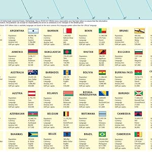
- GLOBAL INSIGHTS AT A GLANCE - Detailed country info including flags, population, currency & language for the savvy world explorer.
- TRAVEL SMARTER PLAN BETTER - Clearly marked airports and seaports to map out your next international adventure with ease.
- MOUNTAIN RANGES CITY SIZES - Subtle shading and legend help you visualize geography and urban scale like a pro.
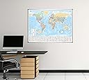
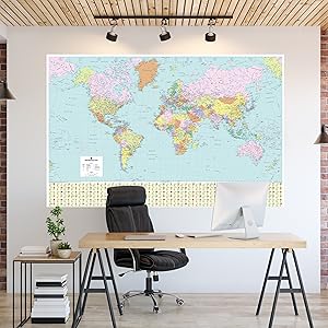
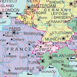
This large 120cm x 83cm laminated world map poster combines political boundaries with rich educational data including country flags, populations, currencies, languages, and time zones. Featuring major airports and seaports, subtle mountain shading, and a durable wipe-clean surface, it’s designed for professionals, educators, and travel enthusiasts who demand both style and substance in their wall decor.