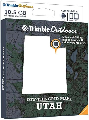
Trimble Outdoors Utah Off-The-Grid Maps
Buy anything from 5,000+ international stores. One checkout price. No surprise fees. Join 2M+ shoppers on Desertcart.
Desertcart purchases this item on your behalf and handles shipping, customs, and support to Vanuatu.
Description
- Statewide Utah Topographic Maps
- Private Land Details (plat boundaries, landowner names)
- Public Land & Hunt Unit Boundaries
- Off-the-grid maps are compatible with iPhone, iPad, Android. No cell or data connection required.
- Includes free GPS app designed for hiking, backpacking, hunting and other outdoor activities
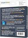
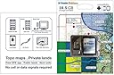
Turn your iPhone, iPad, or Android into a fully featured GPS with Utah Off-The-Grid Maps. Get instant access to thousands of full-color topo maps for the entire state. These offline digital maps work off-the-grid, even when you're far from cell phone and data networks. Includes GPS mobile apps designed for hiking, backpacking, hunting, and other outdoor activities. • Map Types Included: Topographic, Forest Roads, Lake Maps, Hunt Units, Public Land Boundaries, Private Land Maps • Every memory card comes pre-loaded with an entire state's worth of full-color USGS topo maps, enhanced by MyTopo. • Topo maps feature 18 zoom levels (1:250K to 1:24K) so you can see your GPS location in great detail. See 20-foot contours in most places. • Private Land Maps: See ownership and property lines for these Utah counties: Beaver, Box Elder, Cache, Carbon, Daggett, Davis, Duchesne, Emery, Grand, Iron, Juab, Kane, Millard, Morgan, Piute, Rich, Salt Lake, San Juan, Sanpete, Sevier, Summit, Tooele, Uintah, Utah, Wasatch, Washington, and Weber. • See borders for all 169 big-game units/GMUs in Utah, including antelope, big horn sheep, deer, elk, and mountain goat. • Maps work off-the-grid. No cell towers required. • Works with iPhone, iPad, and Android devices. Android: Place microSD card into device. iPhone/iPad: Drag files from SD card into iTunes. Sync device. • Supported App: Trimble Outdoors (iPhone, Android, iPad). • Supported Website: TrimbleOutdoors.com.
Common Questions
Trustpilot