

Full description not available
D**E
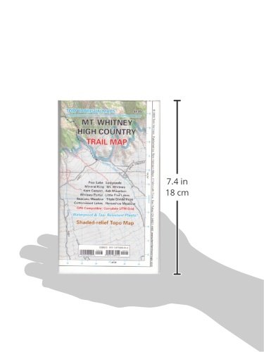
Not a Mt. Whitney Trail map
This map is not just for the Mt. Whitney trail. This covers the whole southern Sierra Mountain area. Quality and detail is great if you are hiking from Sequoia to Bishop CA but this is horrible if you are just hiking up only Mt. Whitney as it is oversized and is not detailed in that specific area.
C**.
Best maps
This guy makes the best maps, period, IMO. I have about a dozen of these for various wilderness areas I go backpacking in. Accurate, detailed, and updated often it seems. I have found secondary trails on these that are not included on many other larger maps, which is nice when trying to get off the beaten path. These maps also usually have legend for what type of trail, whether maintained or primitive, etc. Worth every penny when in the backcountry, as they are durable and waterproof.
M**S
... map covers all of Sequoia National Park and is perfect for planning and executing a trip across the High ...
This map covers all of Sequoia National Park and is perfect for planning and executing a trip across the High Sierra Trail. The eastern edge includes all of the roads in Sequoia National Park (like Wolverton, Lodgepole, General Sherman Tree), and the western edge includes Mt. Whitney and the Whitney portal.
R**P
Life insurance policy
Purchased for the High Sierra Trail, Calif.Have a number of these Harrison maps, desert to high sierra, very accurate, practically indestructible, and inexpensive , wouldn't leave camp without one. Period.
M**N
Really fantastic map
Used mainly for the High Sierra Trail. Super helpful, especially as trail conditions were poor this year and alternate strategies required. Wouldn't do the HST without it.
G**Y
Great for planning that backcountry adventure!
The Tom Harrison maps each cover a lot of area and are perfect for planning your backcountry trips. Because of the large areas they cover the detail isn't very close-up so definitely not good for backcountry route finding if doing anything above class 1. If needing a map to navigate by when going cross country then get a USGS map which won't cover as much area but has much better detail. They do work well in conjuction with my gps if I stay on trail though which reduces the # of maps I have to take with me and less is always a good thing when it comes to my backpack weight. They are also waterproof which is pretty much a necessity in my opinion. Very happy with this purchase for what I use it for...trip planning.
J**L
This is the map for the High Sierra Trail
Map is printed on durable waterproof material that easily survived a High Sierra trail trip in terrible weather. The map includes detailed and accurate information on the High Sierra trail, and when combined with one of the trail descriptions available from thousands of bloggers, provides everything that an experienced trekker should need to navigate the trail.
L**N
Another good Harrison map
I really like TH maps, and this one is no exception. My only reason for dropping it a star is the fact that the Mt Whitney day hike routes are just a small part of the map...not TH's fault, just a disappointment on my part.
Trustpilot
1 week ago
2 weeks ago